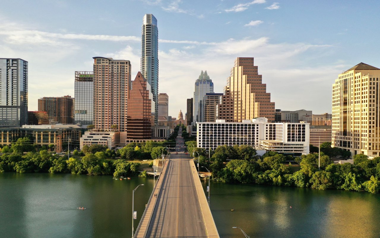
On February 7, 2026, the city and the Trail Conservancy cut a ribbon at the eastern edge of Lady Bird Lake and declared something that hadn't been true since Longhorn Shores went up in the mid-1970s: the Ann and Roy Butler Hike-and-Bike Trail was finally a complete loop. Ten miles, no detour onto Pleasant Valley Road, no dodging traffic to get from one shore to the other.
It didn't stay that way. By late July, a new detour showed up on the opposite side of downtown, near the Austin Rowing Club boathouse at Trinity Street. By the third week of August, a second one opened west of the I-35 bridges. If you've walked, run, or biked the trail lately and wondered why you're suddenly being rerouted again after months of hearing the loop was finished, the honest answer is that it was finished, just not for very long.
What Actually Closed in February
The gap that closed was real and it had been there for decades. The Wishbone Bridge, a three-legged pedestrian and bike bridge near Longhorn Dam, connects Longhorn Shores, Canterbury Street, and the Holly Shores peninsula with a central plaza where the three legs meet. Each leg runs about 230 feet, and the plaza itself is 76 feet wide, built wide enough for people to actually stop and look at the skyline rather than just pass through.
The project cost $25 million, funded mostly through Austin's 2020 mobility bond with additional federal funding added in 2023 after costs rose. Construction started in July 2024 and finished four months ahead of schedule and under budget, savings that paid for extra lighting along the bridge legs and an overlook that was completed the following month. On opening day, the bridge's automated counter registered more than 21,000 users, a number that tells you how long this particular fix had been anticipated.
The old crossing at Pleasant Valley Road is gone too. In its place is the Unity Underpass, a wider, better-lit passage that replaced what neighbors had been calling the creepy tunnel for years. It's lined with a mosaic mural, "Absolute Equality: Unity Tunnel," by artist Reginald Adams. The city puts trail usage at roughly 2.6 million visits a year, which gives you a sense of how many people were affected by a gap that no longer exists at this particular spot.
Two New Detours, Two Very Different Clocks
Here's the part that doesn't show up in the ribbon-cutting coverage. Neither of the two current detours has anything to do with the Wishbone Bridge project. They're separate, unrelated, and running on completely different timelines, which matters if you're trying to plan a route around them.
| Where |
What's happening |
Started |
Expected to clear |
| North shore near Trinity Street, at the Austin Rowing Club boathouse |
Waller Beach Duct Bank Upgrade: Austin Energy is running new underground power lines from the Rainey Street Substation into the downtown network |
Late July 2026 |
March 2027 |
| North shore, west of the I-35 bridges |
TxDOT Capital Express Central utility work, one phase of a much larger interstate project |
August 20, 2026 |
Intermittent through January 2027, with the broader project's trail impacts continuing through 2033 |
The Waller Beach project is the more contained of the two. Austin Energy is installing underground duct bank between Brazos Street and Trinity Street so it can retire the aging Brackenridge Substation and shift service to the newer Rainey Street Substation, which already added 33 percent more downtown electrical capacity when it was finished. The duct bank is essentially the wiring that lets that added capacity actually reach downtown buildings. On the ground, that means the trail nudges toward Cesar Chavez Street near the boathouse, and street parking on Brazos south of Cesar Chavez is off limits for now, though the nearby garages and lots stay open. This one has a fixed end date measured in months.
The I-35 detour is a different kind of problem. The August 20 closure pushed trail users onto the permanent path west of the bridges for about two months, through September and October, and the current plan calls for intermittent switching between the existing and detour routes for roughly three more months after that, into January 2027. But that's just the latest slice of a detour window the city has said will run from September 2025 through 2033, tied to the broader I-35 Capital Express Central project happening alongside it. If you use this stretch of the north shore regularly, the honest expectation isn't that it settles down by spring. It's that it keeps shifting for years.
What's Actually Worth Walking For Right Now
Not everything on the trail this year is a detour sign. A few things are worth the trip on their own.
- The Unity Underpass mural beneath Pleasant Valley Road, Reginald Adams's mosaic piece, is a genuinely different experience than the old box culvert it replaced.
- The Wishbone Bridge plaza itself, the 76-foot-wide central space, was built for lingering rather than just crossing, and the March overlook addition adds another spot to actually stop.
- The Trail Conservancy has placed new temporary public art at five locations along the trail as part of its TEMPO program, giving the loop a rotating outdoor gallery feel it didn't have before.
- Barton Springs Pool is fully reopened this year after crews removed a skimmer bypass that had been in place since the 1940s, so if your loop extends into Zilker Park, there's a real reason to make the detour.
Planning Your Own Loop Around It
If you're routing east toward Longhorn Dam, the Wishbone Bridge and Unity Underpass now give you a clean, continuous crossing that didn't exist before this year. If you're heading through the Rainey Street stretch or west toward the I-35 bridges, expect signage, slower going, and a route that may not match what worked for you back in June. The Trail Conservancy keeps a running map of active detours on its site, and it's worth a quick check before you head out if your usual loop passes through either construction zone. The city's own Wishbone Bridge project page has the underlying details on what was built and why it took as long as it did.
There's already talk of a third project on the horizon, a boardwalk extension along the south shore between the Congress and First Street bridges that TxDOT has agreed to help fund, though when construction actually starts is still unclear. Which is really the pattern here. The trail closes one gap and opens a conversation about the next one. That's not a flaw in the system. It's what an actively maintained piece of infrastructure looks like when 2.6 million people are putting weight on it every year.
If you're weighing what any of this means for a specific stretch of Central Austin, whether it's how trail access affects a particular block or what a renovation timeline realistically looks like on a property nearby, that's the kind of on-the-ground detail Andrea Hamilton tracks closely. Let's Connect.